Georabble – Student Edition – Thursday 7th September 2017
Speakers:
- Suzy Urbaniak: Geoscience, Education and STEM – What’s happening and where is it going…
- Tristan Reed & Jeremy Siao Him Fa: Geo-app development in Remote Schools
- Mark Williams: Participatory Mapping, Central Australia to Cambodia
- Darren Mottolini: The Assumptions of Mentoring
- Dhan Prabhu: “Getting into Resources” – Resource Careers Experience for High-School Students
What ignited your passion for all things geo?
We’re inviting newbies to the Perth geo-scene to share their stories about what got them on path to geo-enlightenment. Join the friendly Perth Rabble to share your passion for geo.
And for old hat Rabbers – tap a local geo-newby you know to come along and join the crew.
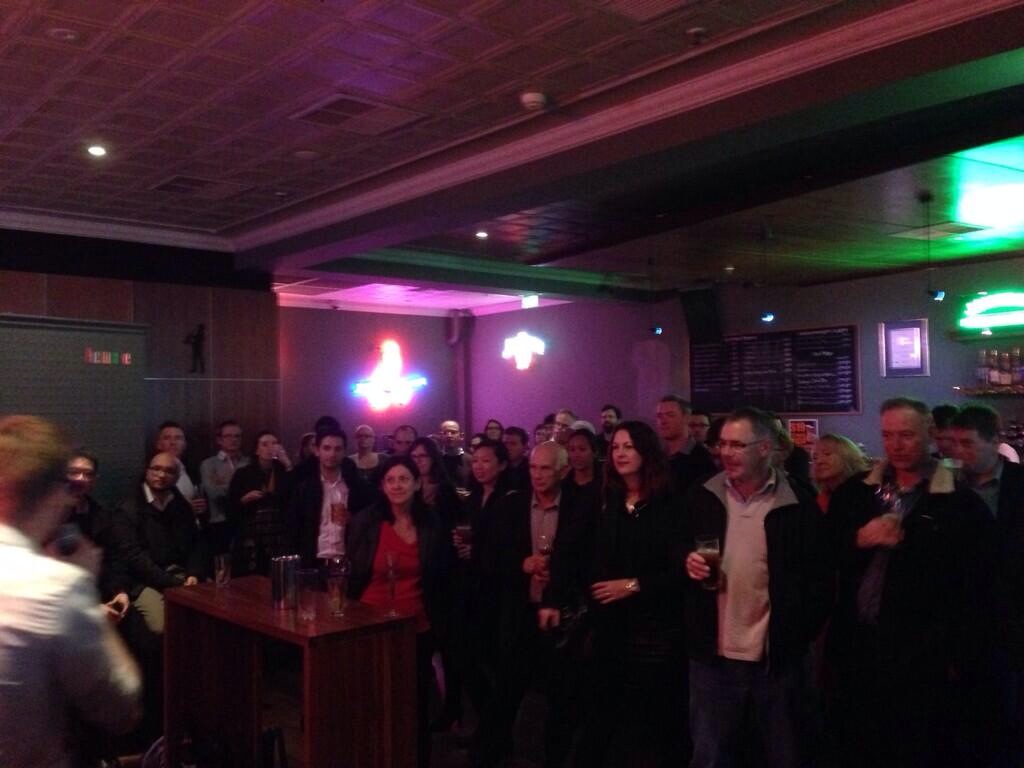
Doors open 5:30pm, Presentations from 6:00 pm
Universal Bar, 221 William St, Northbridge
A handful speakers, 10 minutes each, a room full of ‘rabblers, and the usual rules
Attendance is free, but for catering purposes please help our hosts by registering here
Follow @georabble on twitter or use the hashtag #georabbleper to join the conversation.
We can’t hold these events without the help of the greater Geocommunity! Please contact us if you’d like to be a part of sponsoring a future event or get involved in helping organise an event.
This event brought to you by the Perth GeoRabble team and sponsored our friends @ Spookfish.
![]()