Category Archives: Tasmania

GEORABBLE LAUNCESTON 17 OCTOBER

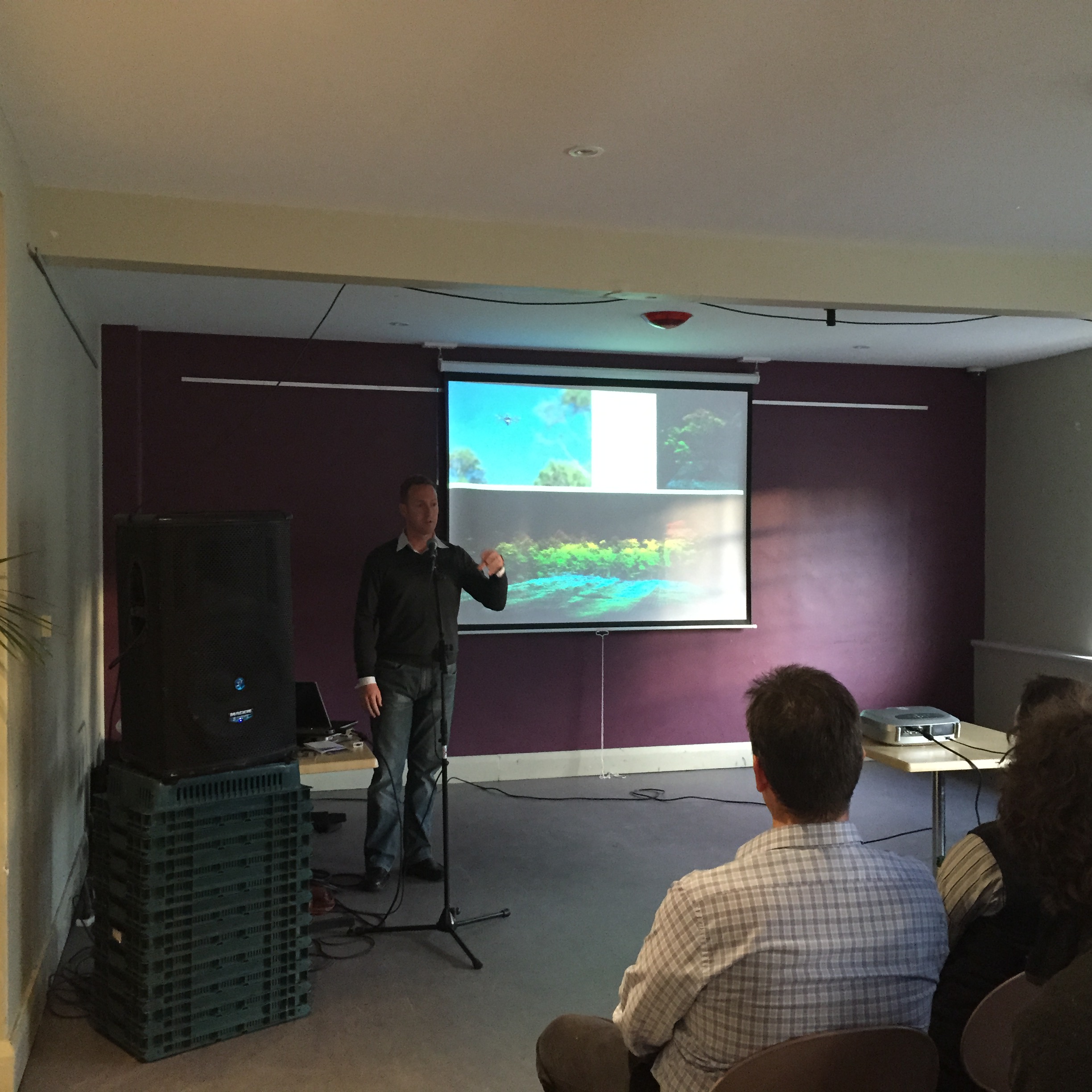
GeoRabble returns to Tasmania on Thursday 17 October 2019 at St John Craft Beer Bar on St John Street Launceston, sponsored by Esk Mapping and GIS. Networking drinks start at 5:30pm. Presentations commence shortly there after followed by more networking.

RSVP and enjoy the night with friends sharing geospatial ideas, free of sales pitches and hidden agendas! Each presentation is light, relevant to geo-something and only 10 minutes long.

https://www.eventbrite.com.au/e/georabble-tas-9-tickets-73795585583?utm-medium=discovery&utm-campaign=social&utm-content=attendeeshare&utm-source=strongmail&utm-term=listing

Speakers

John Dent – Convict Probation Stations in Northern Tasmania

There are nearly 30 convict probation or road stations in northern Tasmania dating from the 1820s to 1850s. The exact location of only a handful of these stations is actually known. Historic maps and surveying expertise is leading to the discovery of some of these convict sites and subsequent archaeological investigation is revealing that much still remains from these early convict sites.

Leigh Cornwell – Surveying for City of Launceston

Surveying and asset management has changed a great deal over the past 20 years from paper plans and assets recorded for a handful of features to creating and maintaining asset records for just about everything Council owns. We’ll take a look at what they are and the techniques used for surveying them as well as some other areas that use the Councils surveying services.

Tim Bendall – Port Arthur Historic Web Map

Port Arthur is a web mapping project for the public and for archeologists / academics. It shows the site as it was during it’s time as a convict prison and via a time slider you can see the site as it was for any year between 1833 and 1878. This includes records of any offenses committed on-site and all of this data is searchable. We also allow for admin users to upload and display georeferenced images including historic plans.

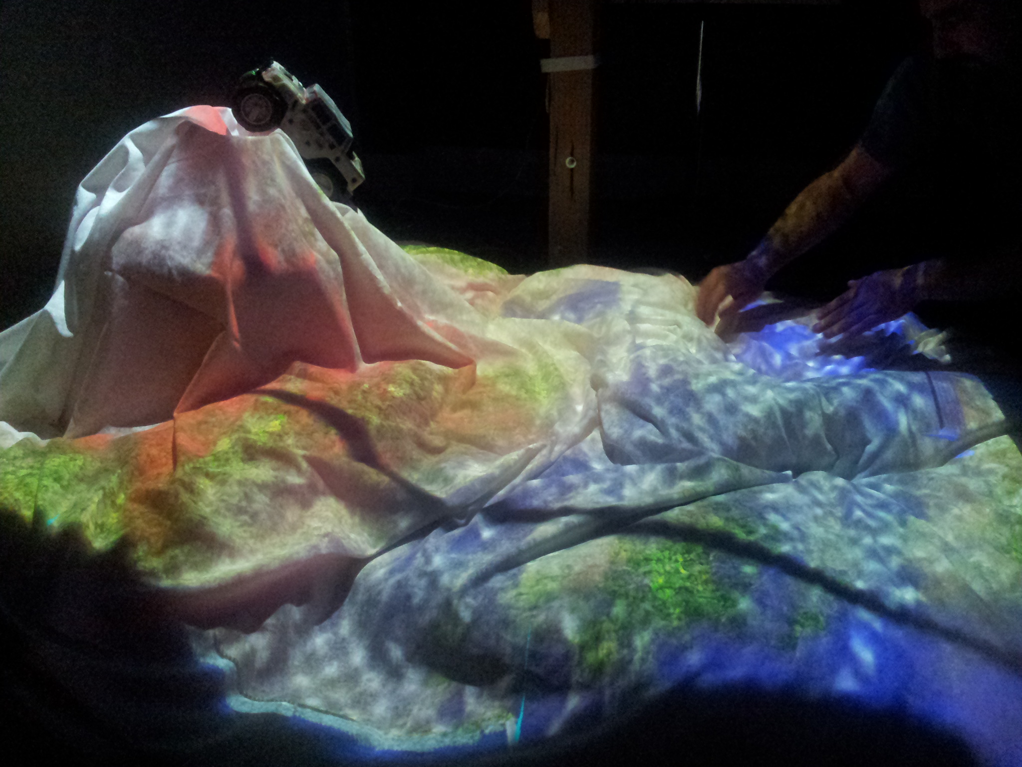
Alex Leith – Building Digital Earth Africa

At Geoscience Australia, we’re building the technical components of Digital Earth Africa, which is a project that aims to make Earth observation data and analyses more accessible for the entire African continent.

This will be an unapologetically technical talk about solving unreasonably big data problems using cloud services and will briefly talk about impacts, challenges and opportunities involved in the Digital Earth Africa project.

Date: Thursday 17th October, 2019
Time: Doors open 5:30pm, Presentations from 5.45 pm
Location: St John Craft Beer, Launceston

Standard Georabble Format: A handful speakers, 10 mins each, usual rules.

Registration: Attendance is free, but for catering purposes we need you to register!

Big shoutout and thanks to Esk Mapping and GIS for sponsoring GeoRabble this time. https://www.eskmapping.com.au

esk-mapping-gis-logo

GeoRabble Tas #9

GeoRabble Tas #9

GeoRabble is back in Hobart for the first time this year! Jacobs has agreed to sponsor the event, which means we can run one, so we are! No surprises, it’s just a great chance to catch up with some nice folks with similar interests and share a few words over a beverage or two.

Presenters

We have four fantastic presenters coming along to share their GeoStories with us:

  • Karen Alexander talking about participatory mapping
  • Deanna Hutchinson talking about using Vitamin D to grow the spatial industry
  • Edward King talking about remote sensing, specifcally about the remote bits
  • Clothilde Langlais talking about her work modelling the oceans

Details

Date: Thursday 28th June, 2018
Time: Doors open 5:00pm, Presentations from 5.20 pm
Location: Republic Bar in Hobart

Standard GeoRabble Format: A handful speakers, 10 mins each, usual rules.

Registration: Attendance is free, but for catering purposes we need you to register!

Register now!

What is GeoRabble?

GeoRabble is about celebrating the everyday challenges and triumphs of working with location. Everything from the mundane to the glamorous, unfiltered by professional bodies, government and private company agendas and industry politics.

Who is GeoRabble for?

Anyone who has anything to do with GeoHipsters, GeoTech, GeoDev, GeoBusiness, GeoTrends, GeoFutures, GeoPasts – you name it, as long as you’re passionate and want to share your challenges, triumphs, frustrations and pride in the work that you do.

Please contact us if you’d like to be a part of sponsoring a future event.

The Small Print follows: GeoRabble Rules

1. Celebrate each others’ triumphs
2. Respect each others’ choice – no technology bigotry
3. No sales pitches – this includes services, software, data etc.
4. No company logos or ‘about us’ slides
5. Keep it short

Follow @georabble on twitter or use the hashtag #georabbletas to join the conversation

Supported by Jacobs. Thanks Jacobs 😉

GeoRabble Tas #5, October 29th

GeoRabble Tas #5

GeoRabble Tas #5 is booked in for the 29th of October, and as usual, is at the Republic Bar in North Hobart from 5 pm until around 7 pm. We’ve got the support of Pelican Corp for this event (thanks guys!).

Presenters include:

  • Steve Harwin, with a presentation titled ‘Drones for mapping natural landforms – how accurate can we get?’
  • Colin Mazengarb, talking about ‘Working with Point Clouds in the Geoscience Arena – opportunities and challenges’
  • Ferenc (Frank) Acs, talking about ‘BIM: Impacts and Opportunities’
    Rob Musk, talking about ‘Some LiDAR applications in Forest management’
  • Tim Bendall, talking about the trials and tribulations of mobile mapping.

See you there!
Eventbrite - GeoRabble Tas #5

GeoRabble Tas #3 – Post-Event Writeup

The third GeoRabble Tas event was held on Thursday the 25th of September and we had a record 61 people register to attend. The event was held upstairs at The Republic Bar in Hobart and was sponsored by Lester Franks (thanks again, LF).

Presenters were excellent as usual. Presenters and presentations were as follows:

  • Arko Lucieer spoke about the efforts of Terra Luma, which is a group organised out of UTAS that are researching unmanned aircraft system  (UAS) applications. He spoke about the difference between airborne LiDAR, structure from motion and their work comparing the two techniques, as well as a number of specific applications of UAS as a data capture platform.
  • Adrian Fairfield, from Cohen and Associates, then spoke about projects that their platform had been working on, including capturing ortho-imagery across coastlines and other inhospitable areas.
  • James Head-Mears showed us all the fancy close range point-cloud creation tools that Lester Franks use in order to capture a variety of data for a variety of applications, and he showed us the process of reverse engineering an army truck.
  • Finally, Simon Allen wowed us with a great talk on getting results, with his SWAMP, or Shallow Water Autonomous Mapping Platform. The SWAMP is a robot boat, created with a few thousand dollars worth of off-the-shelf hardware, which was used to collect ground-truth or training data for a cloud-based machine learning algorithm, which then estimates the depth of the entire Derwent Estuary! (I think that’s it in a nutshell…) His more important point was that often a lot of time is spent developing the perfect solution to a problem, while it is often just fine to build an imperfect solution that might just work even better. It fits well into my little philosophy of ‘perfection is the enemy of the good.’

In summation, a lot of interest was piqued, some delicious food consumed and lots of catch-up occurred. It will happen again, soon, and so I’ll see you there at the next GeoRabble Tas.

– Alex


Arko Lucieer presenting about UAS
What a handsome audience!

GeoRabble Tas #2 – Post-Event Wrapup

GeoRabble Tas #2 was a another success. Feedback received after the event was very positive: great food, great presenters and a great venue (thanks, Republic Bar).

On the presenters, it was a diverse bunch of folks. The evening started with Peter Boyer, who writes about climate change from a Tasmanian perspective. Peter gave us an excerpt from the latest IPCC report, which was a timely reminder that this issue is not going away and that we need to continue planning for it.

Next Steven Harvey and Ryan Anthony spoke about transforming a map drawn in 1826 into a modern interactive web-map. They spent last summer digitising the Sharland map, including information and images relating to buildings and property owners that were present on the old map.

Rob Rowell, from Insight GIS, then got us all excited about visualisation with a presentation entitled ‘If Visualising Information is Beautiful – is GIS the Ugly Sister?’ which contained many examples of beautiful non-maps, spatial information presented in innovative ways.

Buy my highlight of the evening was John Corbett and his ‘virtual sandpit’, which is difficult to give justice to in words. Here’s what it does:

  • It’s got a Kinect sensor and a projector, both pointed at a 1 m x 2 m area of terrain (composed of bean bags and tubes with a white sheet over it all)
  • An attached laptop models the surface in real time and projects snow-capped mountain peaks in the high bits and leafy green forests that grow over the low bits
  • Then there’s a water source , which is powered by an ‘industrial strength fluid model’, and which creates streams and lakes all while reacting to changes to the landscape and your hands
  • There’s a little toy Humvee, which you can drive through the landscape splashing through the water and leaving tire tracks behind it
  • For the grand finale, if you push the top of the mountain in, a vol lava flows out the top of the newly created volcano!

We have photos, but really you had to be there…

-Alex

Terrain in the Virtual Sandbox
Terrain and truck in the Virtual Sandbox
Terrain, water, lava and chaos in the Virtual Sandbox

GeoRabble Tas #2

GeoRabble Tas #1 was a great success, and #2 is looking to be fantastic too!

We’ve got four great speakers speaking on a diverse range of topics. See you there.

When: Thursday the 20th of March, 5 – 7 pm

WhereRepublic Bar, North Hobart

What: Beer, Food, Conversation and Punchy Presentations

Presenters:

  • John Corbett – Virtual Sandbox (I’m pretty excited about this, it includes a live demo, and funnily enough it’s physical)
  • Rob Rowell – If visualising information is beautiful – is GIS the Ugly Sister?
  • Peter Boyer – Coast and Climate Change: a Tough Policy Challenge
  • Steven Harvey and Ryan Anthony – Making the W.S. Sharland 1826 Map of Launceston Interactive

This event is sponsored by Insight GIS, thanks Insight! For more info, contact alex.

Register here: GeoRabble Tas #2

Insight GIS Logo