🚨Are you a geospatial enthusiast based in Adelaide?🚨
Do you have an exciting project, story or idea you would like to share with the wider spatial community?
We are taking abstract submissions ahead of the Adelaide GeoRabble on August 6th.
Simply email your idea to info@georabble.org with a few dot points about who you are and what you would like to present.
A short list of 3-4 presentations will be selected to present on the night!
___________________________________________________________________________
This event will take place on the evening before Spatial Information Day.
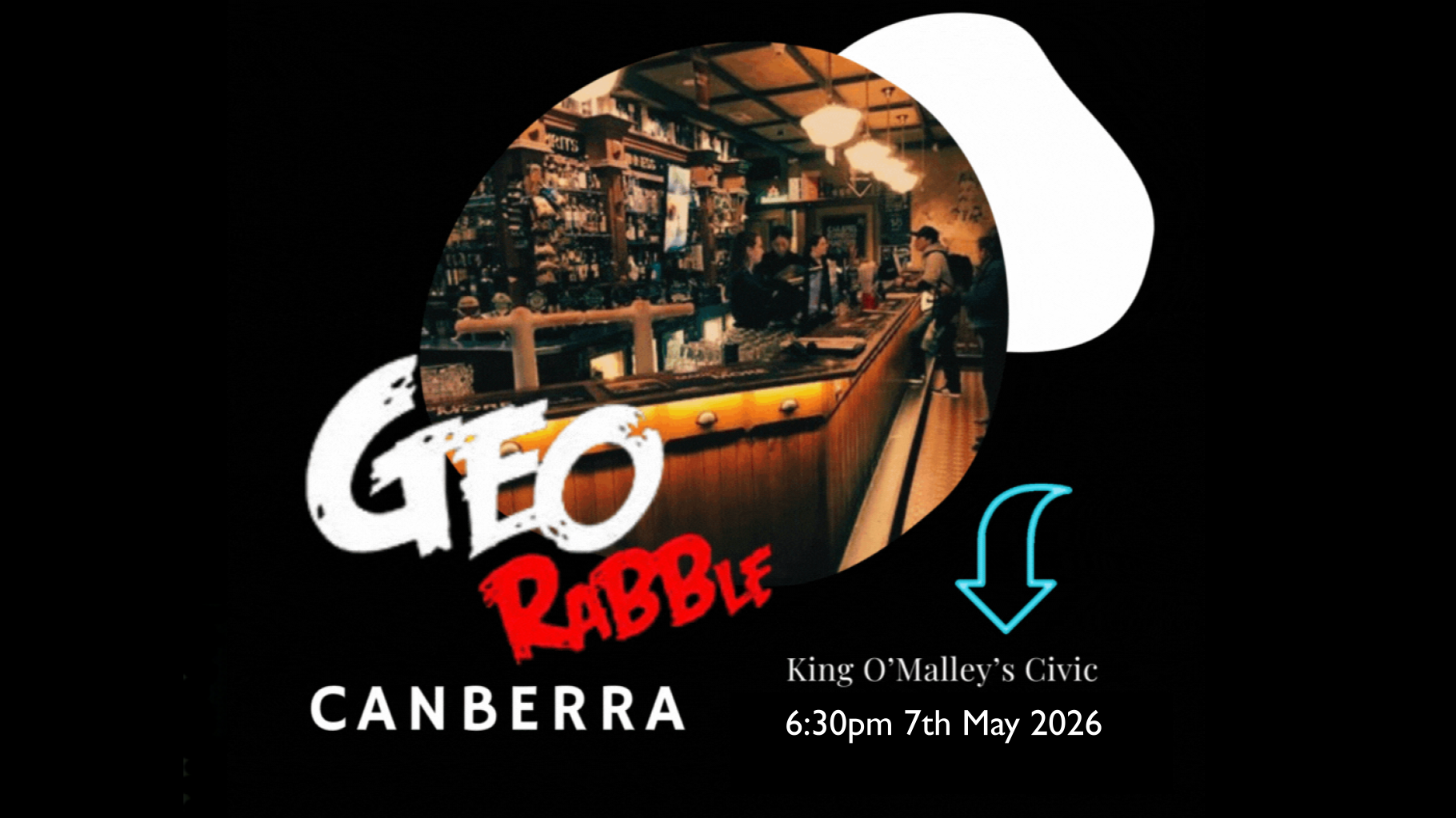
Date: Thursday, August 6th, 2026
Location: Cathedral Hotel, North Adelaide (upstairs)
Time: Doors open at 5:30pm, with presentations starting at 6:00pm.
In keeping with the GeoRabble Spirit, there are a few simple rules:
-Celebrate each others’ triumphs
-Respect each others’ choice – no technology bigotry
-No sales pitches – this includes services, software, data etc.
-No mention of companies, logos or ‘about us’ slides
-Keep it short – 5-10 minutes per talk
If you have any questions, please get in touch via info@georabble.org

 No pitches, no pressure – just passionate geo-people sharing spatial stories, laughs, and maybe a canapé or two.
 , engineer your AI agent prompts
  and head over this way now

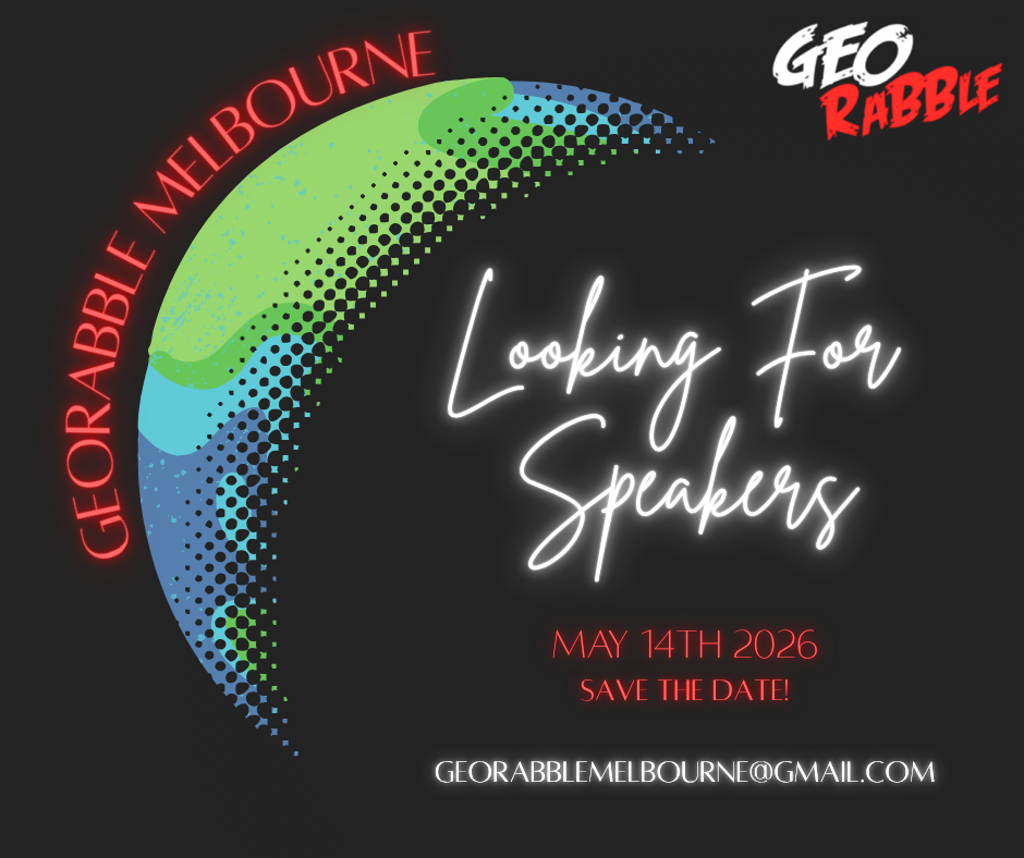
 , passion, story
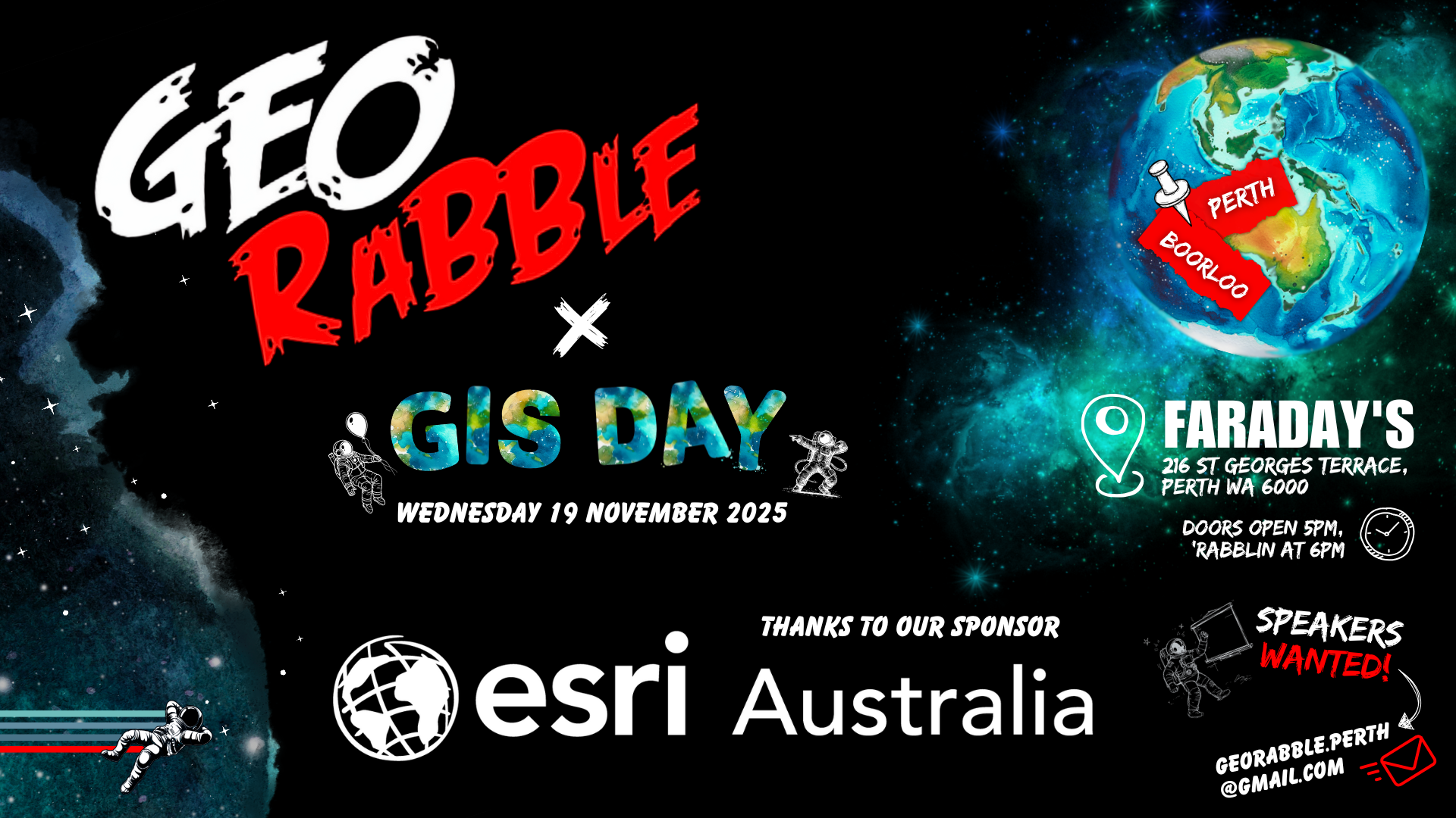
  – from the whimsical to the technical – from the deeply technical, to the tech-adjacent – we’d love to hear from you! And if you’ve never presented before or would like to co-present with a friend/buddy, this is your time to shine – there is no better geo-community* to practice your speaking skills with and level up on your confidence!. Reach out to us at georabble.perth@gmail.com!
 >
>
 &
& 
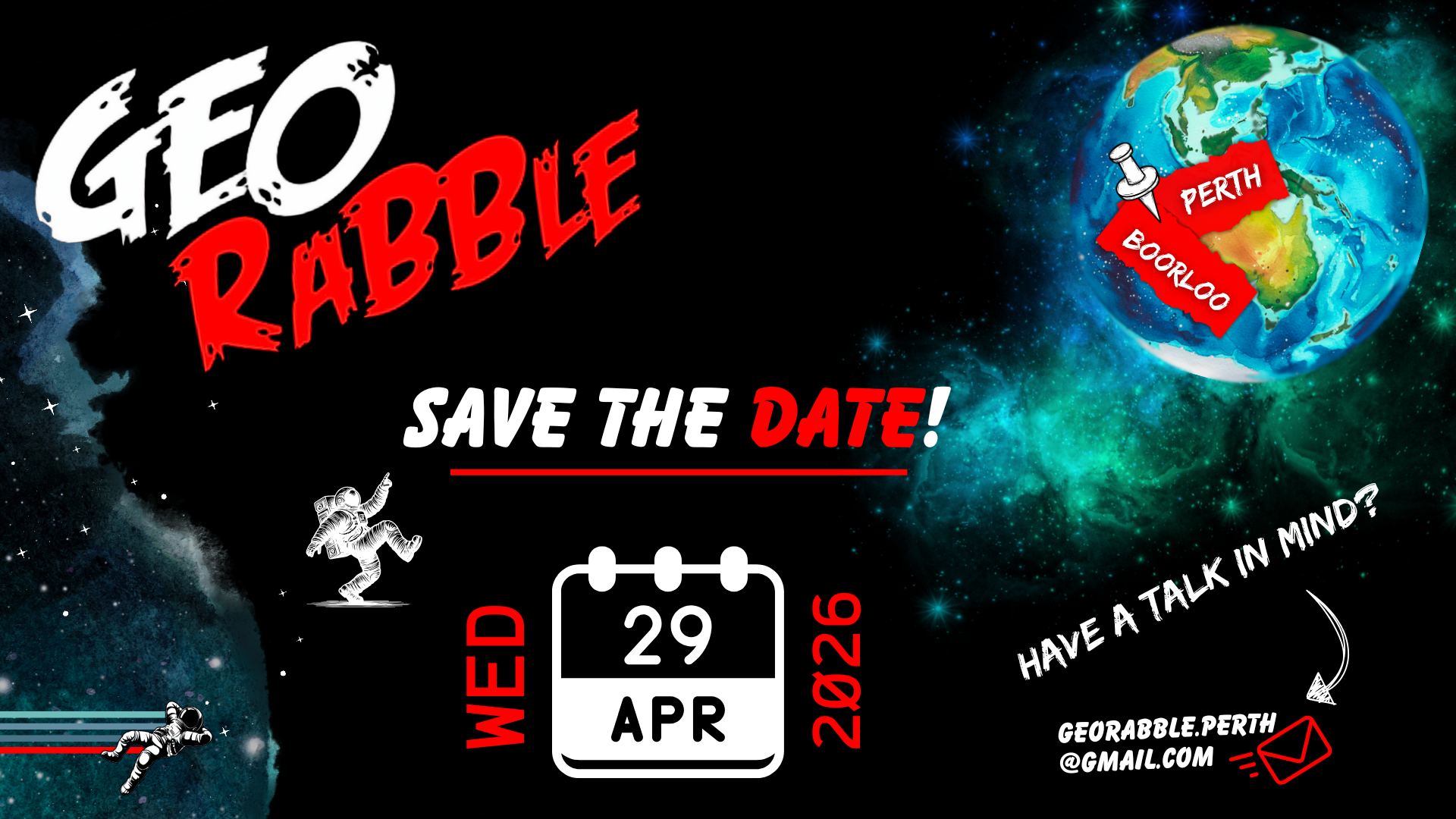


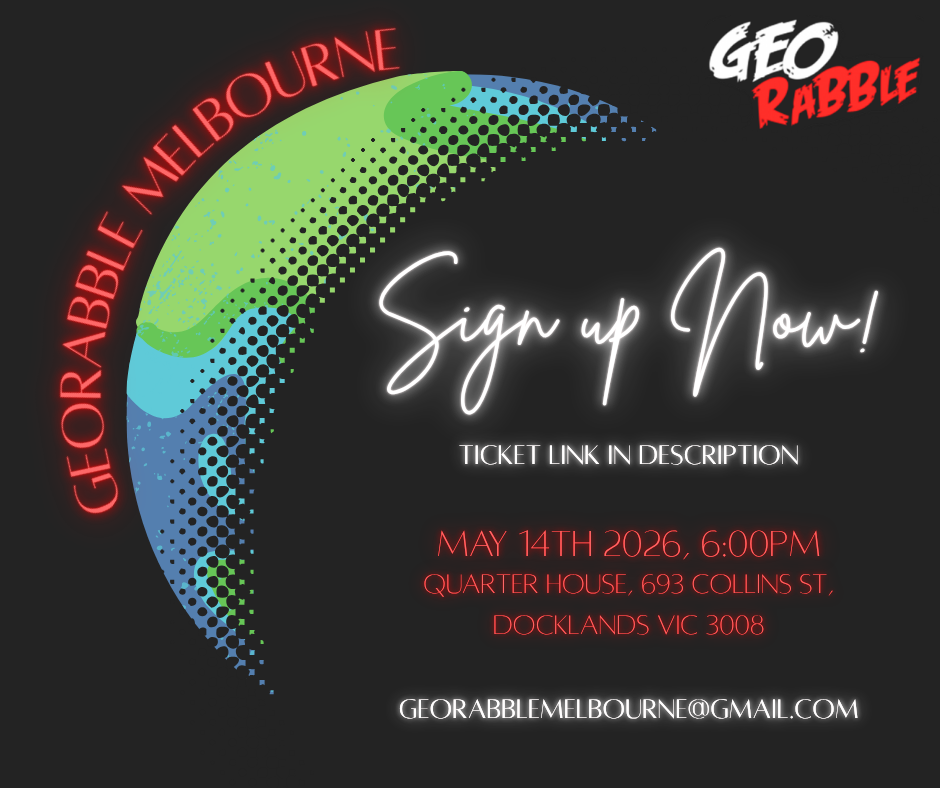
 Wednesday, 12th November 2025
 Imperial Hotel, Bourke St
 6:00 PM open, 6:15 PM start!